
Westfield Neighbors Across Public Sources
No official source publishes a verified household list for a Westfield block. Instead, each record adds one bounded fact. Maps define nearby land, assessor reports name deeded owners, and community pages offer ways to meet local groups. Treating these sources as separate layers prevents a neighbor search from turning a parcel clue into a claim about occupancy.
| Source | What it shows about a block | Access and limits |
|---|---|---|
| Hamilton GeoHub | Parcels, roads, boundaries, and neighboring geometry | Free dynamic map; no household roster |
| Property Reports | Owner, situs, mailing address, lot, legal description, values | Free, parcel by parcel; owner is not always occupant |
| Recorder | Transfers, plats, liens, releases, and prior owners | Online, public computer, or paid access |
| Voter tools | Personal status, precinct, polling place, and district | Public lookup is not a block roster; file rules apply |
| Citizens Portal | Permits, projects, inspections, and compliance records | Public/account routes; fields may be restricted |
| WeCan | Neighborhood-network meetings and join route | No public member or address directory |
| Local history desks | Old maps, directories, obituaries, photos, and newspapers | Library or archive access; historical, not current |
For current Westfield neighbors, begin with GeoHub and verify each map feature in Property Reports. For civic contacts, move to WeCan. For the past, ask a library about maps and directories rather than stretching modern ownership data backward.
Map Westfield Neighbors Parcel by Parcel
The Hamilton County GeoHub is the public geospatial doorway. Its description confirms maps, public data, imagery, and county resources. Exact buffer, select, export, and popup controls were not captured in stable text, so do not claim an automated radius tool. The safe method is a manual, map-first walk.
- Locate the known address and confirm the road name and parcel polygon.
- Record the target parcel ID, legal description, subdivision or lot, and jurisdiction.
- Click or note each neighboring polygon individually, moving around the immediate block.
- Open or search the matching Property Report for deeded owner and mailing data.
- Date the snapshot and retain the map layer names, since parcel lines and roads change.
A shared boundary proves only geometric adjacency. It does not prove that the owners know one another or that either parcel is occupied. Parcels can split or combine, and a new subdivision road may appear before finished buildings do. Keep the map result as geometry and the assessor result as ownership.
For a full named road instead of the immediate block, use the Westfield streets directory.
Verify Westfield Block Owners
The Hamilton County Property Search accepts a property address, mailing address, county duplicate number, or state parcel number. Results can show the deeded owner, situs and mailing addresses, legal description, lot, subdivision, section-township-range, last recorded date, transfer history, values, and recent record cards.
Situs means where the land lies. The mailing address is where tax notices go, and it may be outside Westfield or shared across many parcels. A homestead or deduction clue may support owner use, but it still does not name every household member. Trusts, estates, and businesses may appear as owners. Confirm a recent transfer through the Recorder before relying on it.
The Hamilton County Real Property Department explains deed routing and the parcel-to-record connection.
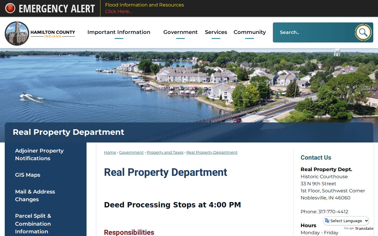
This official route is useful when the parcel report and recorded transfer appear out of step.
Meet Westfield Neighbors Through WeCan
The city’s Westfield Community Association Network, called WeCan, is the confirmed umbrella for people who serve on HOA boards or take part in neighborhoods. The city hosts quarterly meetings with local news and HOA topics. Listed 2026 activities include sessions at Westfield Washington Public Library, a Bridgewater Club event, and virtual, legal, or workshop formats.
The join form asks for an email, first and last name, phone number, and neighborhood. It also links to block-party permit and mobile-food-vendor information. WeCan does not publish private member names, home addresses, HOA rosters, or a complete subdivision directory. It is a contact layer, not a source for naming Westfield neighbors.
The captured WeCan page shows the network’s public meeting and enrollment route.
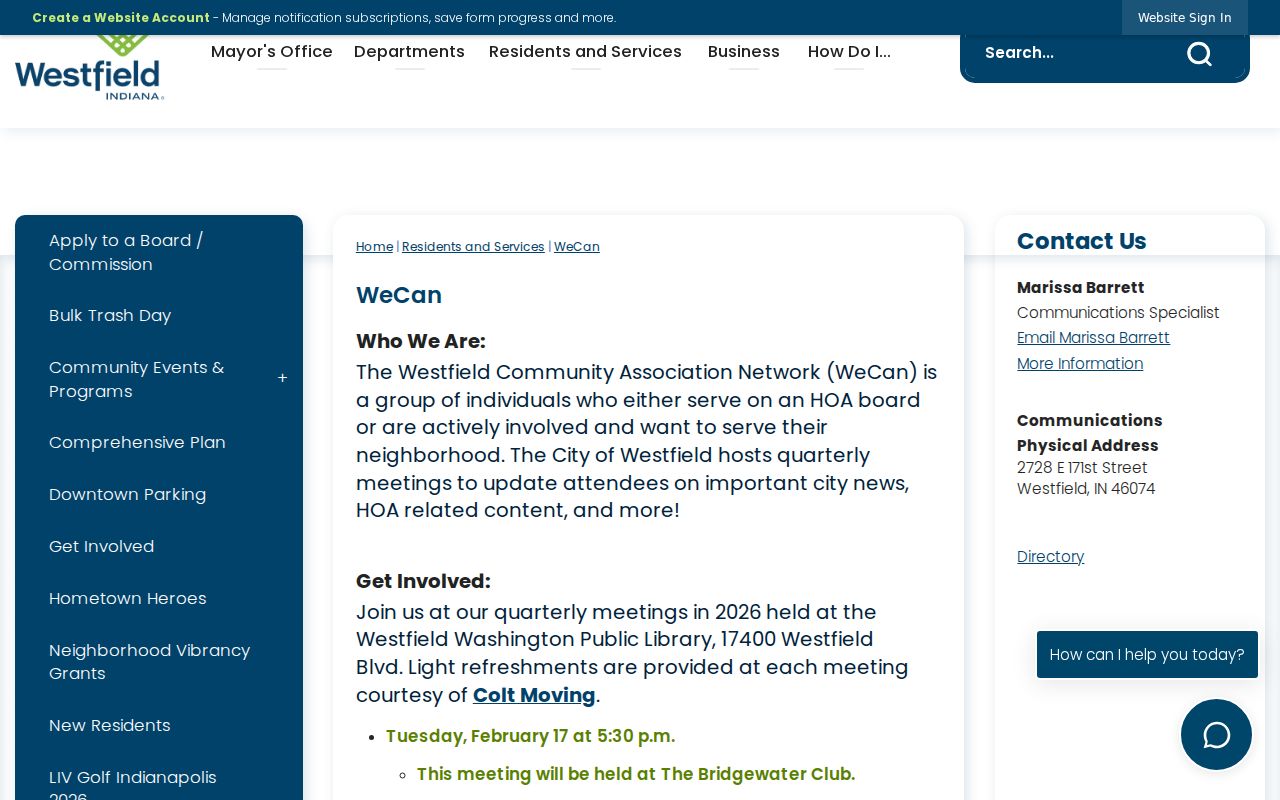
Use that channel to contact a neighborhood group while respecting the missing public roster.
WeCan
City-hosted neighborhood and HOA network with meetings and a join form.
Crossroads Discovery Center
HEPL local-history help for old maps, directories, photos, newspapers, and vertical files.
Westfield Historical Society
Targeted access to printed, written, photographic, and artifact collections by appointment or open hours.
Westfield Neighbor Voter Boundaries
The Indiana Voters portal can confirm an individual registration status, precinct, polling place, district, and sample ballot. It does not generate every registered person on a Westfield block. Hamilton County voter-file requests use the VRG-24 form and remain subject to requester category, purpose, fee, use limits, and protected-field rules under Indiana Code 3-7-26.3 and 3-7-26.4.
Address Confidentiality Program records and other protected voter data are withheld. A precinct is also much larger than an immediate block. When a lawful civic purpose requires a file product, request it from the Hamilton County Election Office and document the fields actually delivered. Never reconstruct household membership by merging unrelated public records.
Note: A voter-status result confirms a bounded election record, not everyone who shares the address.
Westfield Blocks Gain a Permit Timeline
Westfield’s Citizens Portal launched on March 2, 2026, replacing paper and email submissions for Community Development work with a required online route. Public services include permits, projects, inspections, licensing, petitions, and compliance. Account users may see status, comments, activity, and documents, though the public search fields and historic migration cutoff were not fully documented.
A permit applicant, contractor, plan preparer, complainant, or inspection contact is not automatically the owner or an occupant. Compare the event with the dated parcel report and recorded deed. Older records may remain outside the new portal, so a narrow city request should state the address, date span, department, and record type.
The Westfield archive search adds keyword, archive type, time period, and date controls.
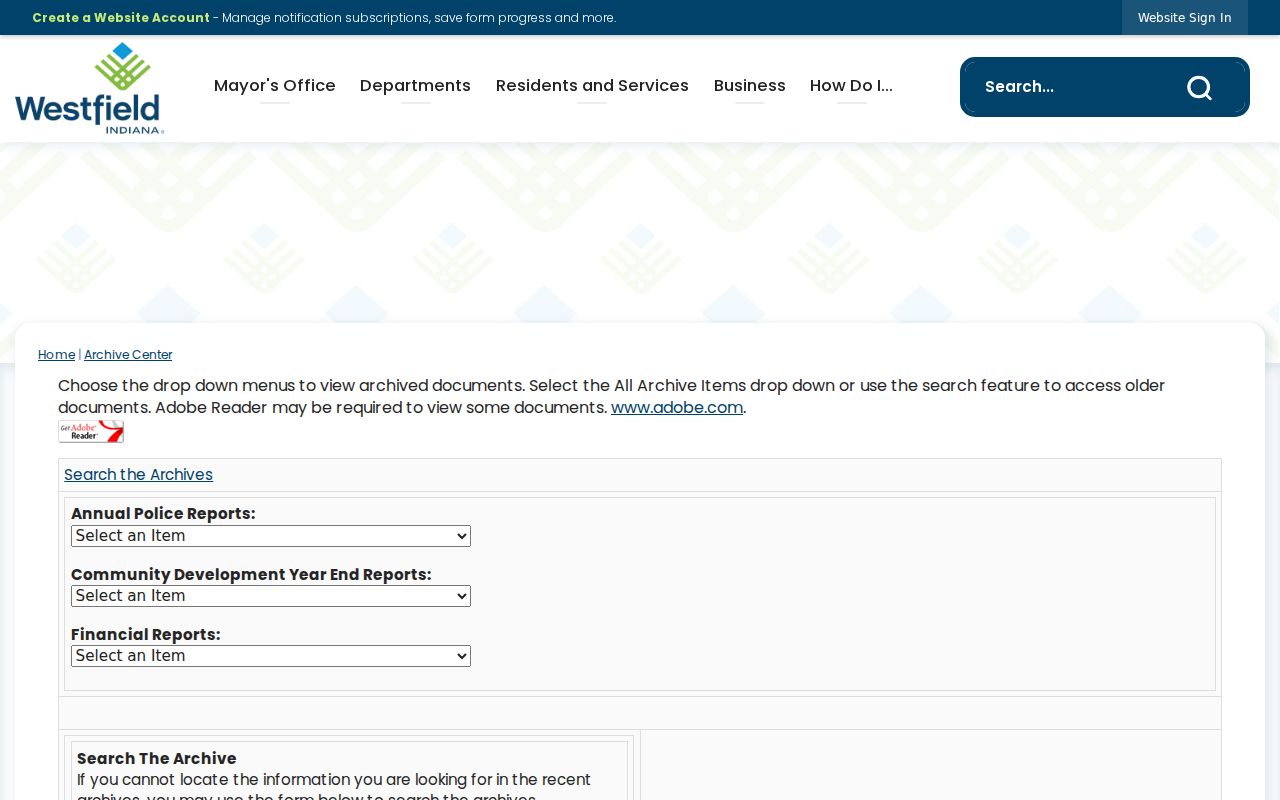
The archive can place a public notice or city action on a timeline without naming a private household.
For county material not indexed online, the Hamilton County records portal provides a request channel.
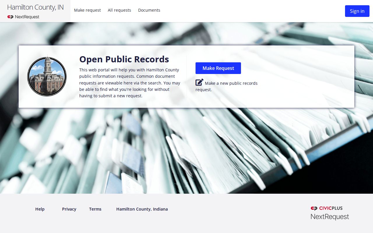
A focused request is more useful than asking for every record about a broad area.
Official Westfield Rolls Versus Profiles
Official sources and commercial neighbor profiles serve different roles. County records identify the custodian, update process, and exact field. Commercial services may combine public and licensed data without showing when a field changed. They can be stale, merge people with similar names, or attach a mailing address to the wrong parcel. No commercial result becomes an official Westfield neighbor record merely because it looks complete.
| Source type | Best use | Main caution |
|---|---|---|
| GeoHub and Property Reports | Parcel geometry and current deeded ownership | Do not infer all occupants |
| Recorder and city records | Transfers, plats, and dated public activity | Document parties have distinct roles |
| Commercial compiled profile | Unverified lead for further checking | Unknown freshness, source mix, and matching quality |
The county also warned that Property Fraud Alert users had to re-enroll after the Land Records Management System changed on May 1, 2025. That timely change shows why even an official alert must be checked against the current system.
The county fraud-alert notice documents the transition.
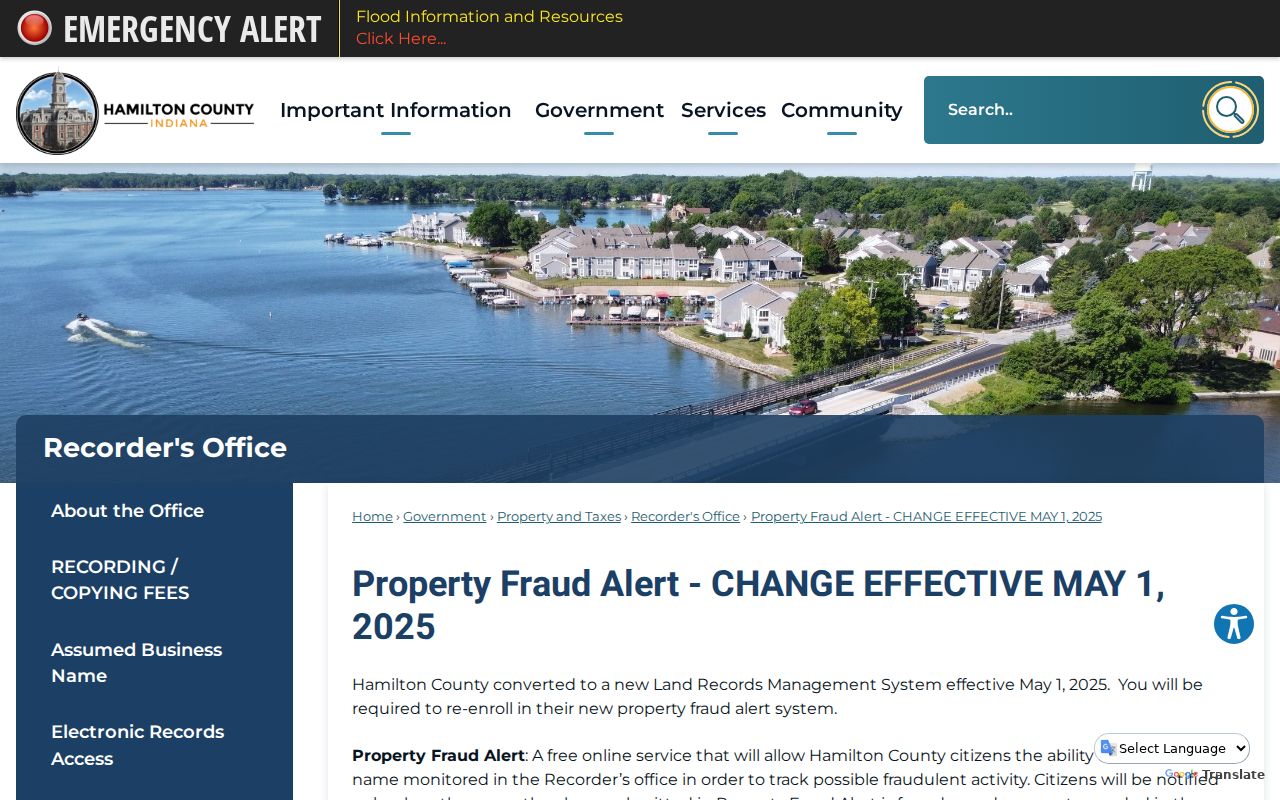
Re-enrollment protects a parcel-monitoring workflow, but the alert still does not identify household members.
Protect Privacy of Westfield Neighbors
Non-owner household members are not indexed in the parcel roll. Utility, delivery, and customer records are not ordinary public resident sources. Indiana motor-vehicle address data is restricted under federal DPPA rules. Protected voters, victim identities, juvenile records, sealed or expunged court files, Social Security numbers, and Address Confidentiality Program details remain shielded.
Westfield’s Quaker landmarks, Old Friends Cemetery, and Quaker Park offer rich community history, but no public current congregation roster was located. A historic place name or event attendance never proves present membership. Likewise, CityProtect may show hundred-block incident geography while exact locations or victim information can be withheld.
Lawful use. Learn about Westfield neighbors for civic connection, local history, or personal safety. Do not watch, confront, intimidate, or harass anyone found through public records.
A responsible block snapshot lists dated parcel IDs, public owners, land-use evidence, and source links. It does not claim to know who is inside each building. That boundary preserves useful civic facts and the privacy of people who never appear in the records.