
Walk a Westfield Street
A sound Westfield street directory search moves from a known address to a parcel, then from that parcel to records that answer narrower questions. The county property report can identify the deeded owner and legal description. GeoHub adds the lot shape and boundary context. A recorded deed names transfer parties, while a permit may name an applicant or project contact. Those roles are not interchangeable, and none alone proves every person now at the address.
Use a worksheet with one row per parcel. Save the source date, situs address, parcel numbers, owner, legal description, instrument number, and any conflict. This keeps a repeated surname or shared mailing address from turning into a false household claim.
- Run the physical address through Hamilton County Property Reports. Save both parcel identifiers and the legal description.
- Open Hamilton County GeoHub, locate the same road segment, and compare parcel boundaries with the city line.
- Use the transfer row or current owner to find the deed. Record the grantor, grantee, instrument, date, and land description.
- Add public permit evidence and lawful voter information only for what each source actually confirms.
- For an earlier household, consult maps, plats, census schedules, and the historical collections on the Westfield city directory page.
Search Westfield Property Addresses
The county assessor portal is the best first stop for a current Westfield address. It accepts partial address searches, so a number or street fragment can return candidate parcels. Search one useful key at a time, then inspect the result instead of assuming the first match is correct. Current ownership is refreshed five times each week, but the county warns that information can still be stale or mismatched. Reports can include transfer history, assessed values, deductions, and three years of cards and statements.
| Search label | Input and format | Street-directory use |
|---|---|---|
| County (Duplicate) Number | 16 digits; spaces, dashes, and decimals accepted | Reopens a known county parcel |
| State Parcel Number | 18 digits; separators accepted | Matches the statewide parcel key |
| Property Address | Text; house number without fractions or dashes; partial accepted | Finds the physical, or situs, parcel |
| Mailing Address | Text; partial accepted | Finds parcels sharing a tax-mail destination |
The form does not expose a ZIP field or a dedicated owner-name box. A mailing-address result may span many Westfield parcels or point outside Indiana. Treat it as correspondence data, not proof of where the owner lives.
Hamilton County explains the report fields and search rules in its property help page.
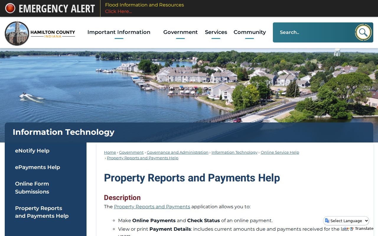
The captured help screen belongs beside the search-field table because it shows the county source readers should use to interpret a parcel result.
Westfield Records Along a Street
No official source is a complete roster of who lives along a Westfield road. The street directory works by keeping each record set in its proper lane. The parcel roll is strongest for current deeded ownership. GIS is strongest for geography. Recorder instruments document transfers and claims. The city permit system dates building and code activity. Election tools are governed by separate access rules, and historical directories only describe the years they printed.
| Address source | Public keeper | What it can show | Access route |
|---|---|---|---|
| Property Reports | Hamilton Assessor and Real Property | Owner, situs and mailing address, parcel, legal description, transfers | Free web search |
| GeoHub and city GIS | Hamilton County GIS and Westfield GIS | Roads, parcel shapes, boundaries, map layers | Free dynamic maps and data |
| Recorded documents | Hamilton County Recorder | Transfer parties, deed type, dates, book/page, plats, liens | Online bands, public computers, paid services, office copies |
| Citizens Portal | Westfield Community Development | Permits, projects, inspections, comments, and compliance records | Public portal and account; narrow record request when needed |
| Voter records | Indiana SVRS and Hamilton Election Office | Status, precinct, polling and district data; approved file products | Public status tool or regulated request |
| Printed directories | State Library, HEPL, WWPL | Historic name and address clues for covered years | Digital reader, library database, microfilm, or physical shelf |
A parcel number links the property report to transfer and permit evidence more safely than a name alone. When a road was new or renamed, the legal description and plat may be the only stable bridge across sources.
Map Westfield Streets and Parcels
Hamilton County describes GeoHub as its public source for web maps, datasets, county and municipal resources, imagery, and REST services. Westfield also publishes a city maps and GIS page with map experiences and dashboards. In the rendered map, locate the road, zoom to parcel scale, and click a feature only when its popup is available. Exact controls can change, so the record should name the layer and date used.
GIS makes the street-by-street process visible. It can reveal whether two similar house numbers sit on opposite sides of a boundary, whether one tract split into several lots, or whether a road crosses a township or city edge. It does not identify all occupants. Follow the mapped parcel to the official property report before attaching an owner name.
The Westfield GIS source offers the local view of that map layer.
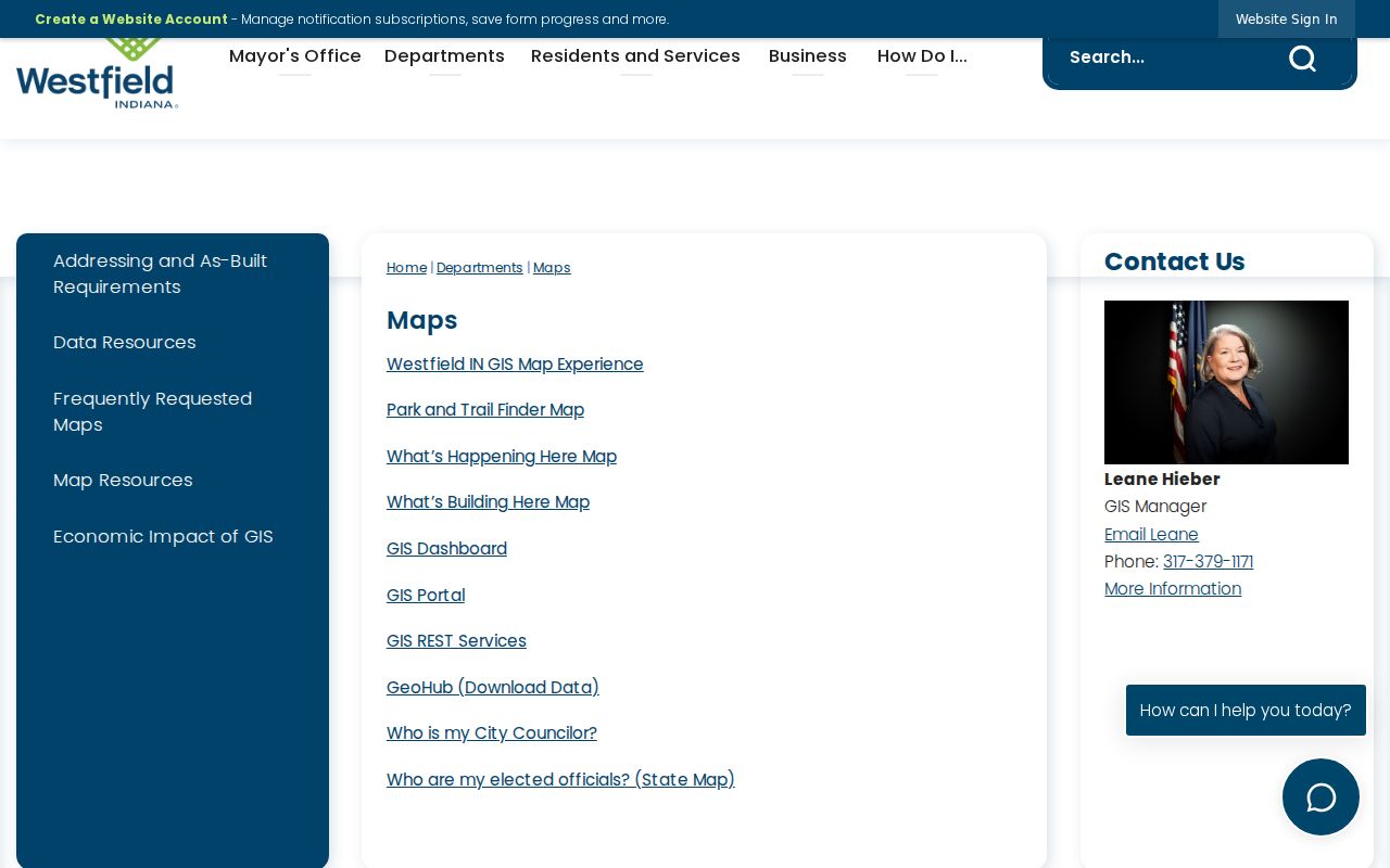
This city map screen complements the county parcel source and helps expose municipal context that a postal address may hide.
Note: Save a map date and parcel identifier, since a familiar street label can outlast a changed lot or legal boundary.
Westfield Street Range Quirks
Westfield addressing data has a useful local oddity. Each street row can carry low and high ranges for both sides, separate ZIPL and ZIPR values, a municipality code, and a New_date showing when the street was added. A single road may therefore have different postal facts on the left and right. The row can also help date a new subdivision road, though it does not name any resident.
The numbered-road grid includes routes such as 151st, 161st, 171st, 181st, and 191st streets, while older named routes include Union, Dartown, Ditch, Carey, Spring Mill, and Main Street or State Road 32. Westfield's Grand Park area and newer annexations add another address era. A 46074 mailing label is not by itself proof that a parcel lies inside the city. Postal, municipal, township, precinct, and school boundaries answer different questions.
- Parcel
- A mapped unit of land with county identifiers and a legal description.
- Situs address
- The physical location of the parcel, distinct from the tax mailing address.
- Plat
- A recorded map that lays out lots, roads, easements, and subdivision boundaries.
- Criss-cross directory
- An address-order or street-order directory used to reverse a printed address into a name.
Read Westfield Deeds by Street
The Hamilton County recorded-document search is party-keyed, not a neat street list. Start with the owner or grantee from Property Reports, open the acquisition instrument, and copy its grantor and legal description. To move backward, search that grantor as an earlier grantee while holding the lot or section description constant. At the shift from farm tract to subdivision, find the parent parcel and recorded plat before expecting the modern street number.
The online deed band begins in February 1947. Miscellaneous records begin in 1973, while historic deed indexes span 1870 through 1963. Selected county and State Library microfilm reaches back to 1825. The mismatch is important: no single online band contains the whole Westfield chain. Public computers at the Noblesville Recorder's Office, Laredo, Tapestry, historic indexes, and a request for a known instrument are all documented access channels. Staff do not conduct the research for a requester.
Ordinary copies cost $1 per page under the county fee page, with separate larger-page and certification charges. Ask for a specific instrument, book/page, or plat after doing the index work. The Westfield street directory should record gaps rather than guess across them.
Westfield Permits Date Addresses
Westfield launched its Community Development Citizens Portal on March 2, 2026. The city moved permit, project, petition, inspection, licensing, and code submission work away from paper and email to the online route. Account users can see project status, inspections, comments, activity, and documents. Public fields and the cutoff for migrated older files were not established in the research, so use a narrow city public-records request if the needed item does not appear.
A permit date can show when a building changed, when a new address became active, or which project actor filed a plan. It cannot prove that the applicant, contractor, or plan preparer owned or occupied the parcel. Compare each named role with the deed and property report.
The portal information page documents that new access route.
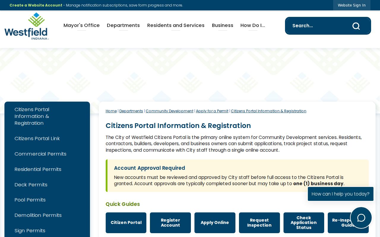
The image marks the city's current permit channel, while older paper or email files may still require a focused request.
Westfield Voter Street Limits
Indiana Voters supports personal registration status, precinct, polling place, district, and sample-ballot checks. It is not a public whole-street roster. Hamilton County file products use the VRG-24 request route, with statutory categories, fees, use terms, and withheld protected records. Address Confidentiality Program data does not belong in a street directory.
For a lawful civic purpose, ask the Hamilton County Election Office what fields and geography an approved walking-list or voter-file product contains. Do not combine unrelated public sources to recreate protected household data. A registration result can support a limited date-specific conclusion, but it cannot prove a complete household, title to land, or continuous residence.
Note: Voter status, deeded ownership, a permit role, and actual occupancy are four different facts and should remain in separate columns.
One Westfield Parcel, Many Transfers
The city's history of 102 South Union Street supplies a strong local example. The parcel began with the 1834 plat and changed hands roughly 30 times or more during its long commercial life. That count shows why a current-owner snapshot cannot answer a full street-history question. A downtown lot can keep its place while names, structures, legal interests, and uses change repeatedly.
For a similar Westfield parcel, preserve each deed's exact legal description and instrument reference. Then add the map or plat that ties the old lot to the current address. A directory or obituary may add social context, but the deed remains the evidence for a recorded transfer. This comparison is especially useful when an old volume says West Field or Washington Township instead of the modern city name.
Westfield Street Directory Boundaries
A Westfield street directory cannot name every person at an address. Property reports identify a deeded owner, which may be a trust, estate, or business. A tax mailing address may belong to an agent. Directories cover only their printed years, and no dedicated Westfield reverse-directory run was confirmed. Utility customer records and motor-vehicle address data are not public shortcuts. City and county portals can also omit confidential, redacted, or not-yet-indexed material.
Use the sources for family history, parcel research, civic understanding, scam avoidance, or reconnecting through lawful means. Verify uncertain results with the keeper of the record. If a portal fails, the fallback chain is the public computer, a known-record copy request, the library or historical society, and a particularized request under Indiana's Access to Public Records Act.
Respect privacy. Westfield address records may be used only for lawful personal research. Never use an address trail to stalk, harass, intimidate, or harm another person.