
Westfield Previous Residents by Era
Each source answers a different question. Hamilton County deeds establish transfers, while directories and the census help identify people who may have occupied the site. Maps explain how an old tract became a modern lot. The strongest previous-residents trail pairs records rather than treating one index as final proof.
| Source | Local years located | Where held | What it shows |
|---|---|---|---|
| Modern deed index | Deeds from February 1947 | Hamilton Recorder and Fidlar | Parties, instrument, dates, some images |
| Historic deed indexes | 1870–1963; microfilm from 1825 | Recorder and State Library | Book/page route and legal descriptions |
| Directories | County from 1874/1876; Westfield in 1970 | HEPL, State Library, Indiana Memory | Names and address context where covered |
| Owner maps and plats | Selected years, 1866–2023 | State Library map guide | Landowners, roads, subdivisions, lots |
| Federal census | Released through 1950 | NARA and library databases | Households and township context |
| Permits | Portal launched March 2, 2026 | Westfield Community Development | Projects and inspections when public |
Start with the newest confirmed parcel and move backward one transfer at a time. For a nineteenth-century question, the legal description and map shelf matter more than the present number.
Start Westfield Address History Today
The Hamilton County Property Search accepts a county duplicate number, state parcel number, property address, or mailing address. Its report can show the current deeded owner, situs address, mailing address, legal description, subdivision and lot, section-township-range, last recorded date, and transfer history. A situs address marks the parcel location. A mailing address is where tax notices go, so it may point elsewhere and may serve several parcels.
Save both parcel numbers and the legal description before following a transfer row. Current ownership updates five times each week, but a transfer can lag, and a trust, estate, or business may appear instead of a person. Those facts make the report a starting index, not proof that a named person lives there now. A blank row is also a portal limit, not an empty history.
Trace Hamilton County Past Owners
The Hamilton County recorded-document search links a current parcel to earlier owners. A grantor transfers an interest; a grantee receives it. Search backward with care because initials, spelling changes, estates, trustee deeds, corrections, and parcel splits can interrupt a simple name search.
- Save the parcel IDs, deeded owner, legal description, lot, and last recorded date.
- Open the newest instrument and record its type, number, book and page, date, grantor, and grantee.
- Search that grantor as an earlier grantee, using name variants and the same land description.
- Repeat through quitclaim, executor, sheriff, trustee, partition, or correction filings without assuming each changed possession.
- Before the address era, switch to plat, lot, section, township, range, historic index, and microfilm.
- Legal description
- The stable land description used when a street name or number changes.
- Instrument
- A recorded document, such as a deed, release, mortgage, plat, or correction.
- Chain of title
- The linked sequence of recorded ownership transfers for the same land.
The Recorder’s Office has public computers in Noblesville, and Tapestry provides paid remote access. Staff do not conduct searches for the public. Request a known instrument or copy when an image is missing.
The Recorder page shows the office and its access choices.
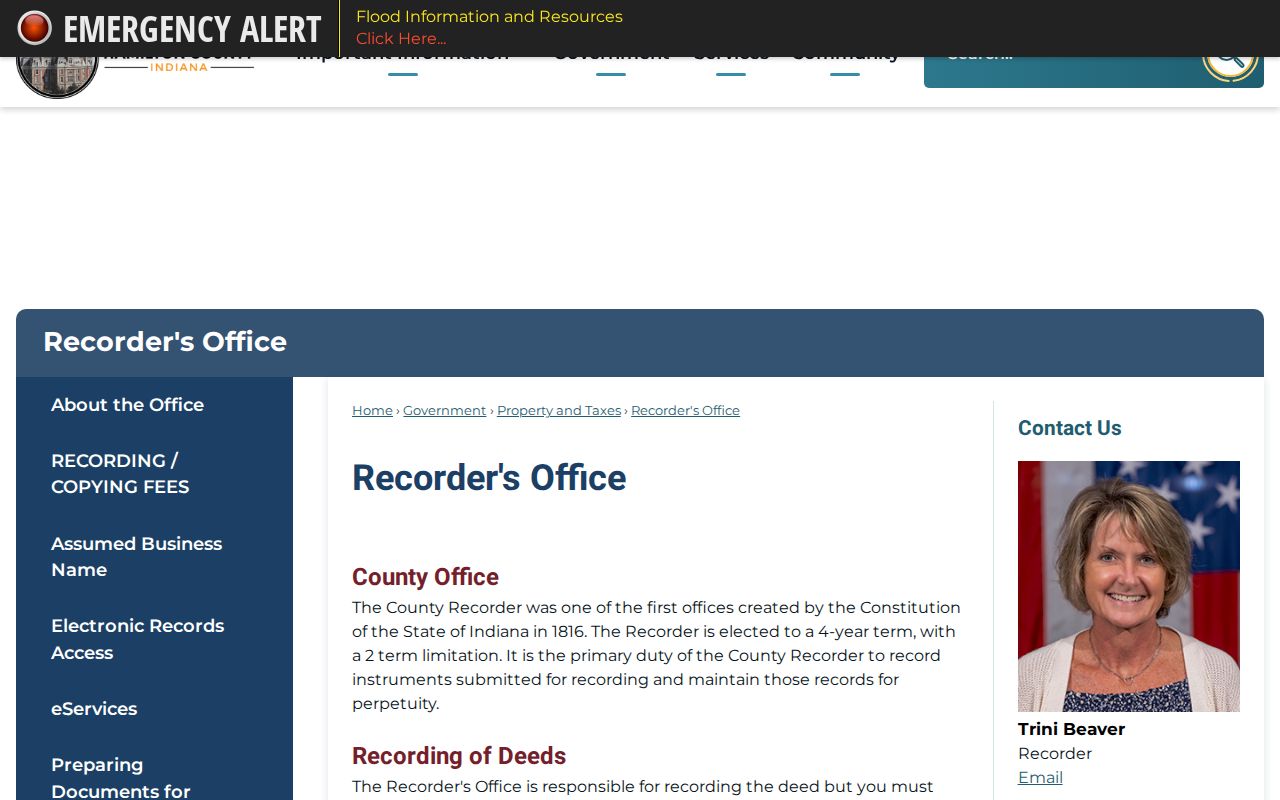
That office route serves historic bands, unavailable images, certification, and public-computer research.
Westfield Deeds Beyond Online Years
Hamilton County’s modern online deed index begins in February 1947, with miscellaneous records from 1973. Historic additions cover deed indexes from 1870 through 1963. Indiana State Library microfilm reaches 1825, including early deed volumes and index bands. These overlaps help, but they are not a smooth digital run.
The microfilm table notes missing volume letters, number ranges, and overlapping dates. Record the exact volume, call number, page, and index band. Never fill a gap with a guessed transfer. The State Library Hamilton County guide connects deed, probate, marriage, map, and local repository routes.
The captured guide provides a reliable doorway to Hamilton County sources.
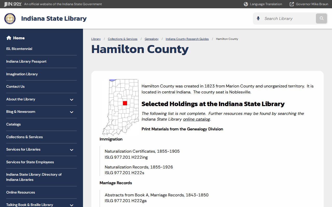
Use its catalog pointers to ask for a specific roll or volume when the web index stops.
Westfield Addresses Change with Maps
A current Westfield number may be newer than its parcel. City addressing data includes street ranges, left and right ZIP fields, a municipality code, and a date for when a street was added. Annexation, subdivisions, renamed roads, parcel splits, and rural-to-city growth can break an exact-address search.
The State Library lists owner maps for 1866, 1896, 1906, and 1919, a 1922 atlas, later plat books, a 2001 Westfield map, and 2008 regional map directories. Compare the modern legal description with an older plat. No official Westfield Sanborn fire-insurance map run was located, though HEPL identifies Noblesville and Sheridan coverage. Keep that gap visible.
A plat is a recorded drawing of lots, streets, and easements. Match its subdivision name and lot number to the property report, then compare roads on the nearest dated owner map. If the tract was split, retain both parent and child parcel identifiers. This method can distinguish a truly missing address from one that had not yet received its current number. It also prevents past residents from being attached to the wrong side of a new road.
Westfield began as a 48-lot village platted in 1834. Earlier records may say West Field, Washington Township, a Friends meeting, or a section and township. Those terms often recover a place that the modern address misses.
A Westfield Parcel with Many Transfers
The city’s 2024 notice about 102 South Union Street offers a rare local example. The site began as part of the 1834 plat and reportedly changed hands about thirty times or more through a long commercial history. That count models grantor-to-grantee recursion, but it does not make every owner a resident.
Tag each person as owner, occupant, business operator, permit applicant, or source informant, then retain the instrument and date supporting that label. A commercial parcel can carry many ownership and use changes with no household at all. This keeps a vivid Westfield story from becoming an unsupported previous-residents claim.
The same discipline helps with an estate or trustee transfer. A personal representative may sign an instrument without living at the site. A business name in a directory may describe the use of the building rather than the owner. Compare the deed date with directory years, newspaper dates, and any probate file before naming past residents. When the roles disagree, report each role and source separately instead of choosing the most familiar name.
Find Westfield Past Households
Ownership is only half the trail. A city directory may place a householder, spouse, occupation, or business at an address, while a census can show other household members. Official catalogs identify county volumes from 1874 and 1876, a digitized 1893–94 directory, Noblesville runs, and the 1970 Westfield Directory & Handbook. The Westfield city directory collections explain those holdings in full.
- Place each deed transfer on a dated timeline.
- Check the nearest directory year for the address, owner surname, and variants.
- Pair the directory with a released census year, allowing for township labels and missing numbers.
- Use a map or plat to confirm the old entry and current parcel describe the same land.
- Mark owners and occupants separately, leaving gaps where no source confirms either role.
A criss-cross directory is arranged by address or phone, not just surname. No complete official Westfield reverse run was found. Ask local libraries about uncataloged volumes, vertical files, photographs, and maps.
Lawful use. Research previous residents for house history, genealogy, estate work, or personal curiosity. Never use an address trail to track, intimidate, or harass a living person.
Close Westfield Resident History Gaps
Obituaries, cemetery records, and probate can explain why a name disappears. HEPL’s Crossroads Discovery Center offers obituary and cemetery indexes, newspapers, microfilm, photographs, directories, and vertical files. Westfield Washington Public Library has in-library Ancestry Library Edition. The historical society accepts targeted questions about printed, written, and photographic material.
The Indiana Archives vital-records page gives custody and index guidance.
An archive index is a lead; certified material still comes from the proper custodian.
The Old Friends Cemetery Park connects directly to Westfield’s Quaker past.
Cemetery evidence can link dates and kin, but a marker does not prove residence at one house.
For paid deed access, the Tapestry search is a documented option.
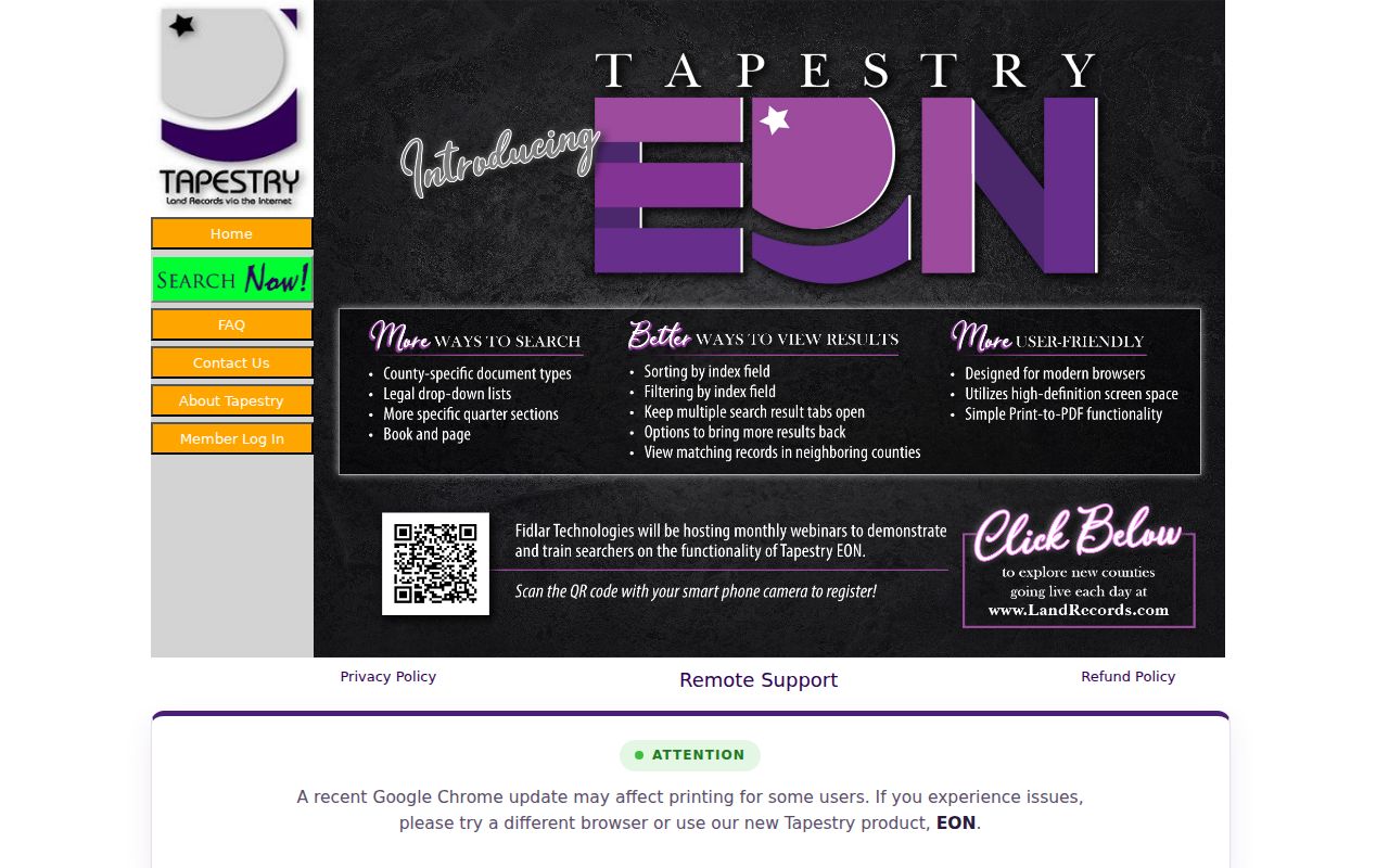
Keep the result beside the parcel report, legal description, and official copy request so each conclusion remains auditable.