
Westfield ZIP Code Coverage
Official sources inspected for this build consistently identify 46074 as Westfield's confirmed postal anchor. The USPS location record and Westfield city facility pages use it. No second ZIP was found in an official source as serving the incorporated city. That is a narrower and safer claim than commercial maps that may blend delivery names with city limits.
| ZIP Code | Areas Covered | Post Office | Notes |
|---|---|---|---|
| 46074 | Westfield delivery addresses and surrounding postal service area | Westfield Post Office, 17520 Dartown Road | Postal coverage does not prove municipal jurisdiction |
| 46049 | Neighboring postal-routing context | Not established as a Westfield city ZIP | USPS routing tables used a Westfield destination label |
| 46069 | Sheridan delivery context | Sheridan | A routing-label change is not Westfield city coverage |
Nearby 46033 belongs to Carmel context and 46060 to Noblesville context. USPS routing bulletins describe label-container changes involving 46049 and 46069 with a Westfield destination. Those are mail-processing instructions, not proof that either code is another Westfield resident ZIP code. The directory should therefore be dated and checked against USPS when a precise address matters.
The official Westfield Post Office page supplies the primary postal source.
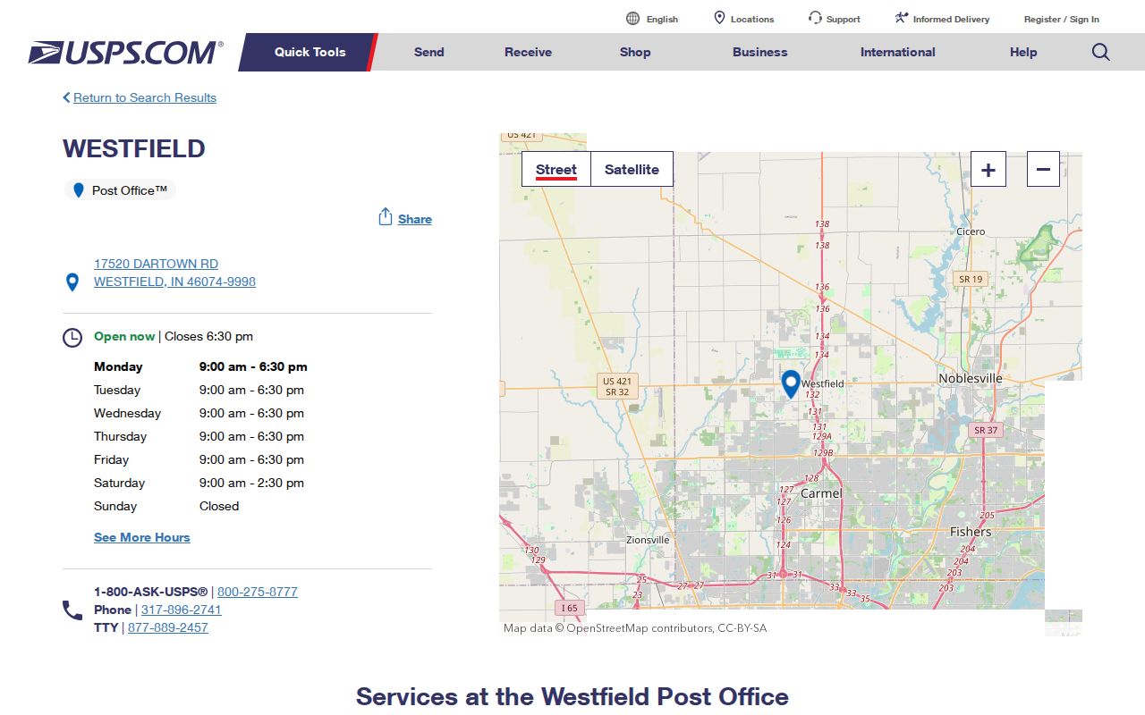
This source confirms the station and postal code, while parcel and city maps answer the separate jurisdiction question.
Westfield Postal Lines Differ
A 46074 label does not prove that a parcel is inside Westfield's municipal boundary. Postal delivery, incorporated-city, township, precinct, school, and county map lines answer different questions. A postal city name can cover an unincorporated pocket, while an annexed city parcel may keep an older mailing convention for a time. The right test joins USPS delivery data with the assessor's situs city and a city or county jurisdiction map.
The Hamilton County cities and towns page provides county context for those municipal distinctions.
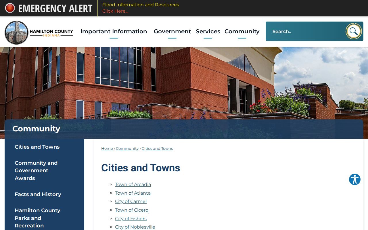
The county source helps separate a postal label from the legal municipality shown for the parcel.
Boundary check. Treat the ZIP code as a routing clue, then verify the parcel's situs and jurisdiction before naming the place.
Annexation Changes Westfield Searches
Westfield grew from 30,068 residents in the 2010 census to 46,410 in 2020. The July 1, 2025 Census estimate is 66,258, while the city's fact sheet lists a separate 2024 estimate of 62,994. These figures come from different dates and products, so they must not be mixed. Growth makes old and new boundary evidence especially important.
The city's annexation information is the official local route for the municipal process.
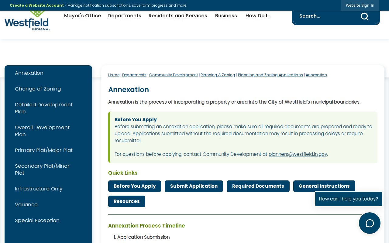
An annexation changes city jurisdiction, but it does not automatically create a new postal code. Search records by their date and use the boundary source that was current at that time.
Westfield's major roads also help orient a record without substituting for a boundary. US 31, State Roads 32 and 38, Grand Park, Dartown Road, Union Street, and the numbered east-west roads appear across city maps and local descriptions. A landmark can narrow the likely part of 46074, yet only the parcel map identifies the tract and only the city boundary source establishes municipal status. Older sources may use Main Street for State Road 32 or omit a newly platted subdivision road. Try the period street name and inspect the street-added date before declaring an old address unmatched.
The Westfield fact sheet offers dated geography and population context.
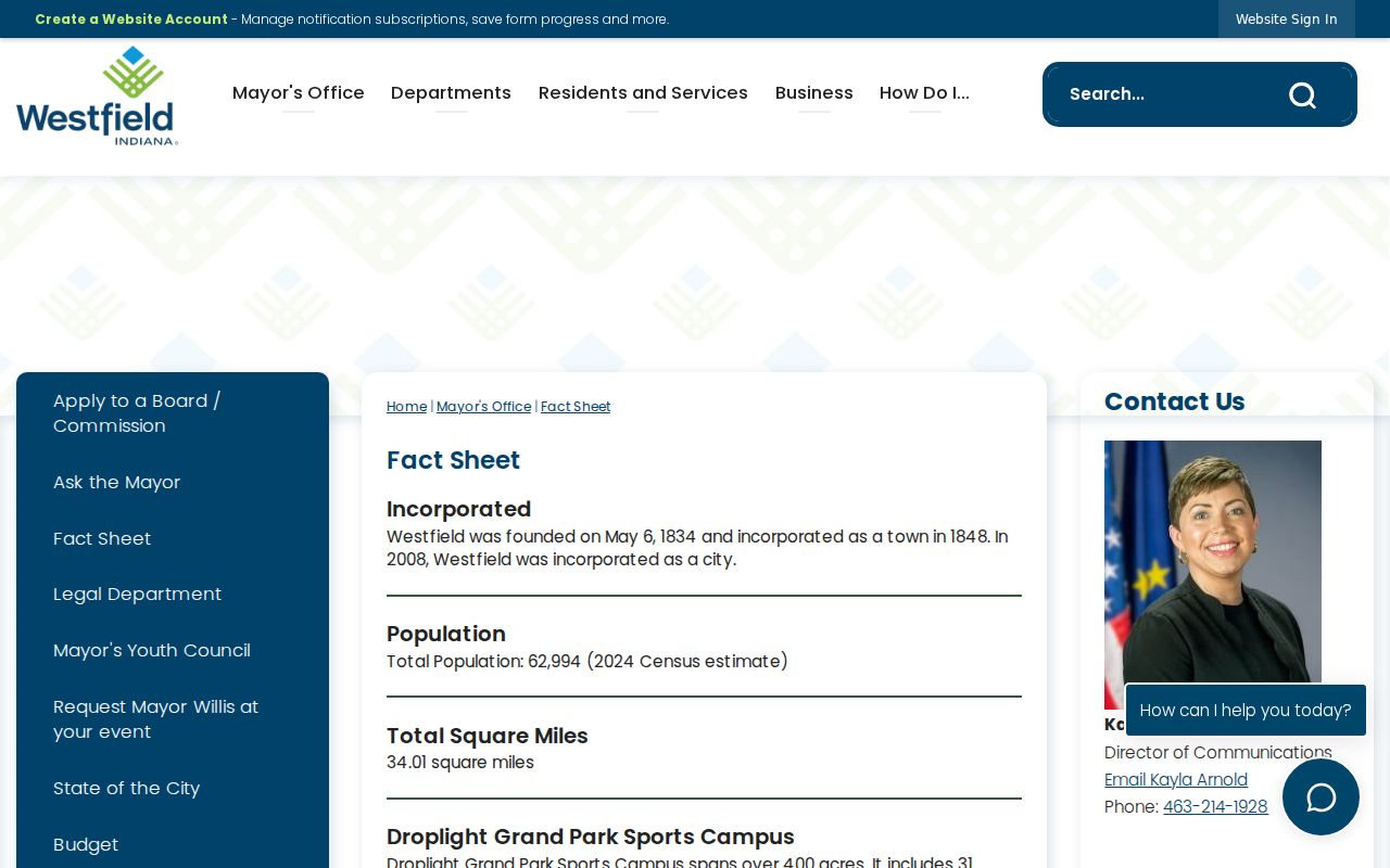
Its total-area figure differs from Census land area because the measurements and dates are not identical. Labeling each source avoids a false conflict.
Find Westfield Records by ZIP
No official portal found in the research produces a casual list of all residents in 46074. The Hamilton County property landing form has no ZIP field. Indiana Voters is a registration-status service, not a public ZIP-wide name export. GeoHub can connect an address to parcel and map layers, but its dynamic controls do not support a promised all-owner ZIP download. The sound workflow moves from a known name or address toward the postal clue.
- Validate the complete delivery address through USPS and record the returned ZIP code.
- Search Hamilton County Property Reports by physical address, mailing address, duplicate number, or state parcel number.
- Compare the returned situs and mailing ZIP with parcel geometry and city jurisdiction in GeoHub.
- Use a voter or business source only for its defined purpose and under its own access rules.
| Source | ZIP handling | What it can establish |
|---|---|---|
| USPS | Full delivery-address lookup | Postal routing and post office |
| Property Reports | No landing-page ZIP box; inspect returned fields | Parcel situs, mailing address and current owner |
| GeoHub | Address geocode and mapped data when rendered | Parcel geometry and jurisdiction context |
| INBiz | Advanced business ZIP filter | Entity filing address, not all residents |
| Voter records | Residence and mailing ZIP on forms; file rules apply | Registration data within statutory limits |
Once a parcel is narrowed to a named road, the Westfield streets page owns the detailed address-to-parcel workflow. A ZIP code directory is best at geographic triage, not at replacing the street-level chain.
Westfield ZIPL and ZIPR Fields
Westfield's official addressing data dictionary contains separate ZIP-left and ZIP-right fields, written as ZIPL and ZIPR. It also records left and right address ranges, city codes, street type and direction, and a New_date field for when a street was added. This is an unusual but useful reminder that address data is built from road segments and sides, not merely one label pasted over a city.
Use the fields carefully. ZIP-left and ZIP-right describe the sides of an address segment in the mapping data. They do not establish ownership or occupancy. The street-added date can explain why an older directory lacks a modern road, but it does not prove the first day anyone lived there. Pair the segment with the parcel report and dated plat or deed when a historical question depends on it.
Westfield's numbered-road grid, Grand Park, older downtown roads, and newer subdivision streets create several address vocabularies. State Road 32 may appear as an old Main Street reference, while Dartown and Union retain local meaning. Search exact and former street forms before concluding that an address vanished.
Read Westfield Address Fields
The property record keeps three address concepts apart. The situs address is where the land lies. The mailing address is where tax notices go and may be outside Westfield. The legal description identifies the land through a subdivision, lot, section, township, range, or metes-and-bounds wording. A ZIP match in one column does not transfer automatically to the others.
- Situs address
- The physical location used to map the parcel.
- Mailing address
- The destination for tax correspondence, which can be in another place.
- Legal description
- The formal land description that connects the parcel to deeds and plats.
- Parcel
- A mapped unit of land with its own county identifier.
Hamilton Property Reports can be searched by partial physical address, mailing address, county duplicate number, or state parcel number. Current ownership updates five times weekly according to county help material, but the portal warns that its data may be stale or incomplete. Verify a key result with the Real Property Department or Recorder.
Map Westfield ZIP Edges
The Hamilton County GIS and maps page is the gateway to county-maintained parcel, boundary, infrastructure, political, survey, and imagery resources.
Start with the parcel at a known address. Then compare the mapped city, township, voting, and other public layers that answer the real question. Do not promise a ZIP layer or tool unless it appears in the live viewer, since dynamic controls can change.
A good boundary note records the address, parcel number, situs city, mailing ZIP, map layer, and date viewed. That compact inventory makes later Westfield ZIP code directory updates auditable after an annexation or portal revision.
Westfield ZIP and City Limits
The last check in a Westfield ZIP code directory is deciding what the code does not prove. ZIP geography serves mail delivery. Municipal geography establishes city jurisdiction. A township or precinct serves another public function. The same address can be described correctly in all of those systems with labels that do not match.
- ZIP versus ZIP+4
- A five-digit delivery area versus the added four digits that narrow a delivery segment.
- PO-box ZIP
- A code used for post-office boxes rather than ordinary street delivery.
- Unique ZIP
- A code assigned to one organization receiving a very large mail volume.
- Carrier route
- A USPS delivery path that is smaller than a ZIP area and can cross other map lines.
No official source inspected identified a PO-box-only or unique ZIP for Westfield. Those terms matter because they explain why a ZIP list can contain codes that do not map like ordinary neighborhoods, but they should not be assigned locally without proof.
Historical directories add another limit. Hamilton East Public Library holds county directories, owner maps, plat books, and a 2008 map directory, but the research did not locate a dedicated run that lists every Westfield household in reverse order by ZIP. Printed directories are best searched by name, street, year, and the address form used at publication. A later ZIP code should not be projected backward into a volume that organized residents by another geography.
Use USPS for delivery, Hamilton County for parcels, and Westfield for annexation and city facts. That three-source comparison preserves what each record can truly say and keeps a postal shortcut from becoming a false resident claim.